Publications
2026 Ebb & Flows
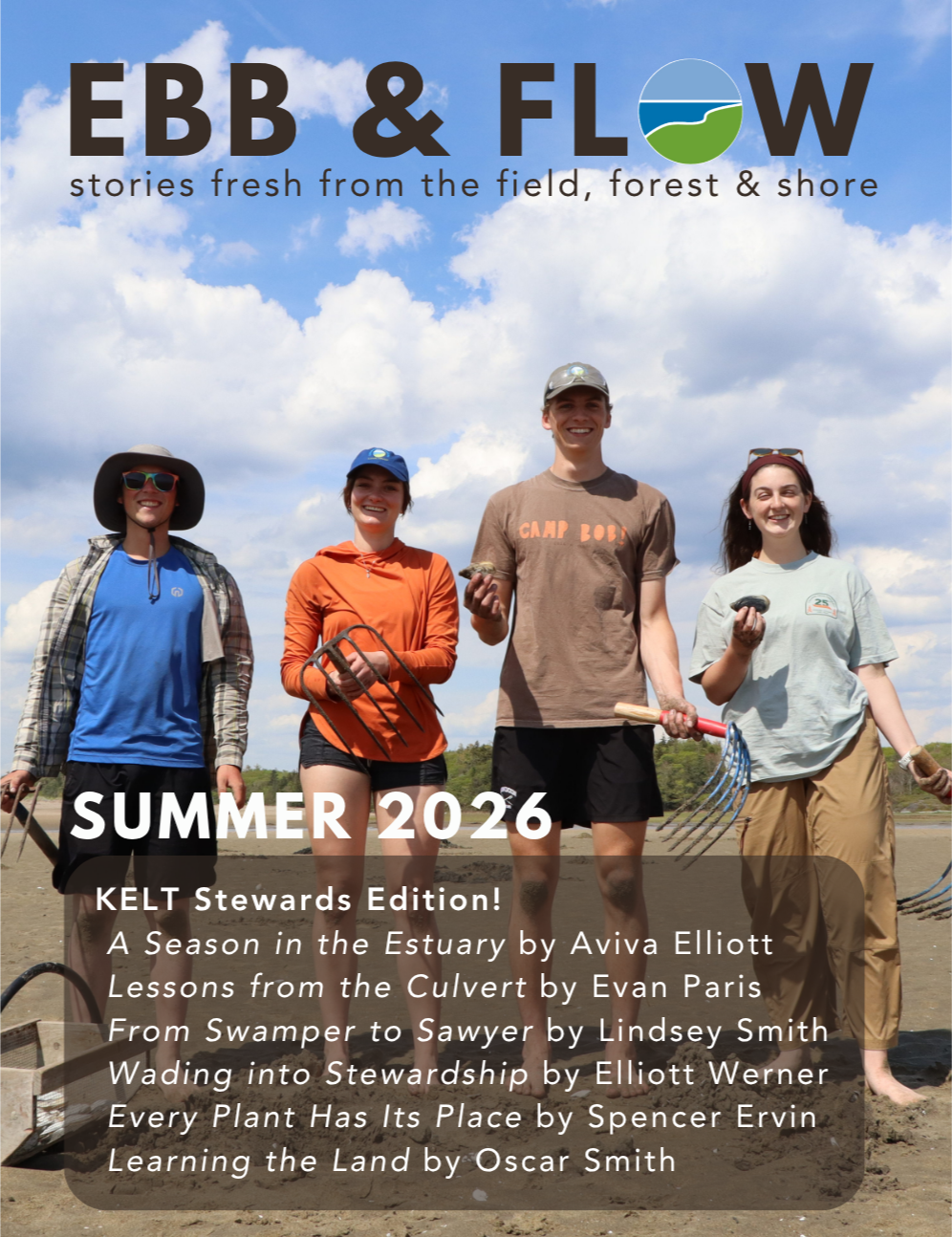
Featured Stories — All written by KELT’s 2026 Summer Stewards!
A Season in the Estuary by Aviva Elliott
Lessons from the Culvert by Evan Paris
From Swamper to Sawyer by Lindsey Smith
Wading into Stewardship by Elliott Werner
Every Plant Has Its Place by Spencer Ervin
Learning the Land by Oscar Smith
Featured Stories:
Remembering Our Friend & KELT Founder, Tom Barrington
Lilly Pond Trail Assessment
Winter Birding in the Estuary
Reskhegan Wildlife Preserve
2025 Annual Report
Explore past reports:
2025 Ebb & Flows

Featured Stories:
Clamming at Hermit Island
Meet New Board Members: Maeve & Jeff
Pathways to Conservation: New Land Projects
Stories by Summer Stewards: Ashley, Elena, & Noah
Featured Stories:
A Catalyst for Conservation: 25 Years of Thorne Head Preserve
Covert Culverts: An Update on Tidal Crossing Analysis
Upcoming Winter Events
2025-2030 Strategic Plan

2025-2030 Program Areas:
Land Protection
Stewardship
Education & Engagement
Restoration
Community Resilience
Organization Stability
Explore past strategic plans:
The Kennebec Estuary Report

Representing a link between Gulf of Maine waters and those draining nearly 8,000 square miles of uplands in Maine and New Hampshire, the Kennebec Estuary is at once a unique assemblage of ecological attributes, a resource of economic, cultural, and social value, and a region of historical significance. The complex interactions among the many components of this system—including those linking people with the environmental goods and services they have historically desired, expected, and needed—have made successful stewardship of the estuary especially challenging.
Commissioned by KELT, this 100 page report was made possible with support by the Merrymeeting Bay Trust and Biological Conservation.
The report was researched and written by Slade Moore of Biological Conservation and Jaret Reblin of Bowdoin College, and completed in 2010.
It is available as PDF files by chapter.
Kennebec Estuary Barrier Survey
The Kennebec Barrier Survey was organized in 2010 to survey barriers to fish passage such as culverts in the lower Kennebec River watershed as part of the statewide effort to inventory fish passage barriers and to prioritize fish and habitat restoration projects.
3 Key Objectives of the Survey:
(1) Survey about 400 road-stream crossings and dams in the lower Kennebec River watershed
(2) Create GIS layers that will be part of the statewide barrier database. State Database: Maine Stream Habitat Viewer
(3) Initiate action to pursue restoration projects.
Nequasset Fish Ladder – Woolwich
The first phase of implementation is underway through KELT’s participation in the restoration of the fish ladder at Nequasset Brook. Because of the active stakeholder base and amount of suitable alewife habitat above this site, the ladder at Nequasset Dam was selected as the #1 priority for improvement. Fisheries experts estimate that with proper management and improved passage, this site can support 400,000 fish.
Sewall Pond Culvert – Arrowsic
Regional Agricultural Maps
Realizing the importance of local farms to the health of the local environment and local residents – both the people and the wildlife – the Brunswick-Topsham Land Trust and the Kennebec Estuary Land Trust have partnered to create Local Farms-Local Food, a regional initiative to enhance farmland protection and raise awareness of local food production.
The BTLT and KELT have formed a strong regional partnership to enhance the local food economy, raise awareness of the benefits of local food, and increase farmland conservation in the southern Midcoast region.
2012 Inventory of Farmland in the Merrymeeting Bay Region in Maine Report
Stewardship Guides

Four conservation commissions and KELT collaborated to create guides for stewarding local land and water resources. They focus on actions people can take in their yards and homes and are specifically tailored for the towns of Arrowsic, Georgetown, Phippsburg, and Westport Island.