Restoring Coastal Connectivity: An Interactive Web Page
Supporting Communities and Habitats by Improving Resilience at Tidal Crossings
This summer, as a part of the Restoration Team, Evan Paris completed intensive tidal crossing assessment work and used the team’s findings to create a fascinating interactive web page, or StoryMap. The team explored how improving resilience at tidal crossings, including culverts, bridges, and other places where road meets the water, can support both coastal communities and the habitats around them.
A StoryMap is an interactive webpage that utilizes maps, photos, graphics, and narrative to tell a dynamic story. This work took place throughout our entire service area. Our team and their findings are rooted in real places and have tangible ecological impacts. This interactive web page shows just that and allows viewers to see these marshes, zoom into specific sites, and watch the connection between land, water, and infrastructure unfold.
Take your time exploring this page. Interact with graphics to see exactly how marshes have changed overtime, pan around embedded maps, view site photos up close, and experience the real impacts of the Restoration Team’s work.
A Preview of the StoryMap
By Evan Paris, Tidal Restoration Steward
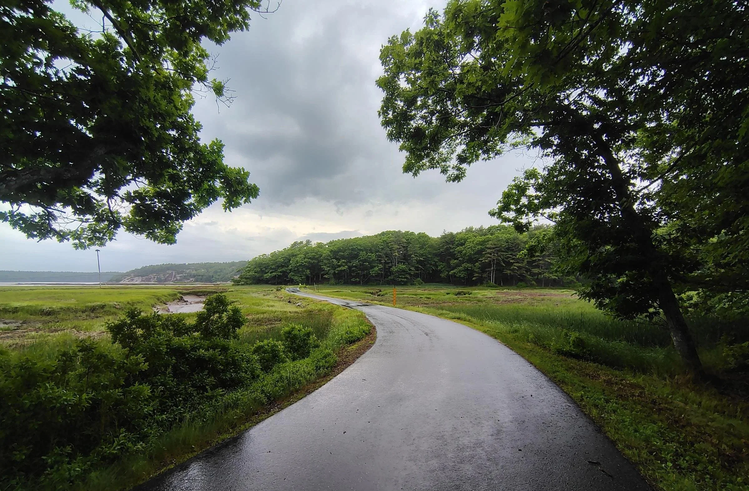
Where roads and flowing tidal waters intersect, people must get creative in order to ensure both systems remain functional. If moving the road elsewhere isn't possible, well-designed tidal crossings are the solution. The term refers to bridges and dams that cross a stream, river, or wetland that is either currently tidal or expected to become tidal with rising sea levels in the next 75 years.
Due to their low-lying nature, tidal crossings are particularly vulnerable to flooding, which can cut off coastal communities from essential resources and emergency services during storms. Undersized tidal crossing structures also harm habitats by restricting water flow, thereby diminishing the ability of streams and tidal wetlands to sustain coastal fisheries and provide homes for at-risk fish and wildlife species. Restoration projects that jointly raise roads and restore tidal exchange build resilient communities and ecosystems by mitigating flooding and reconnecting wetland habitat.
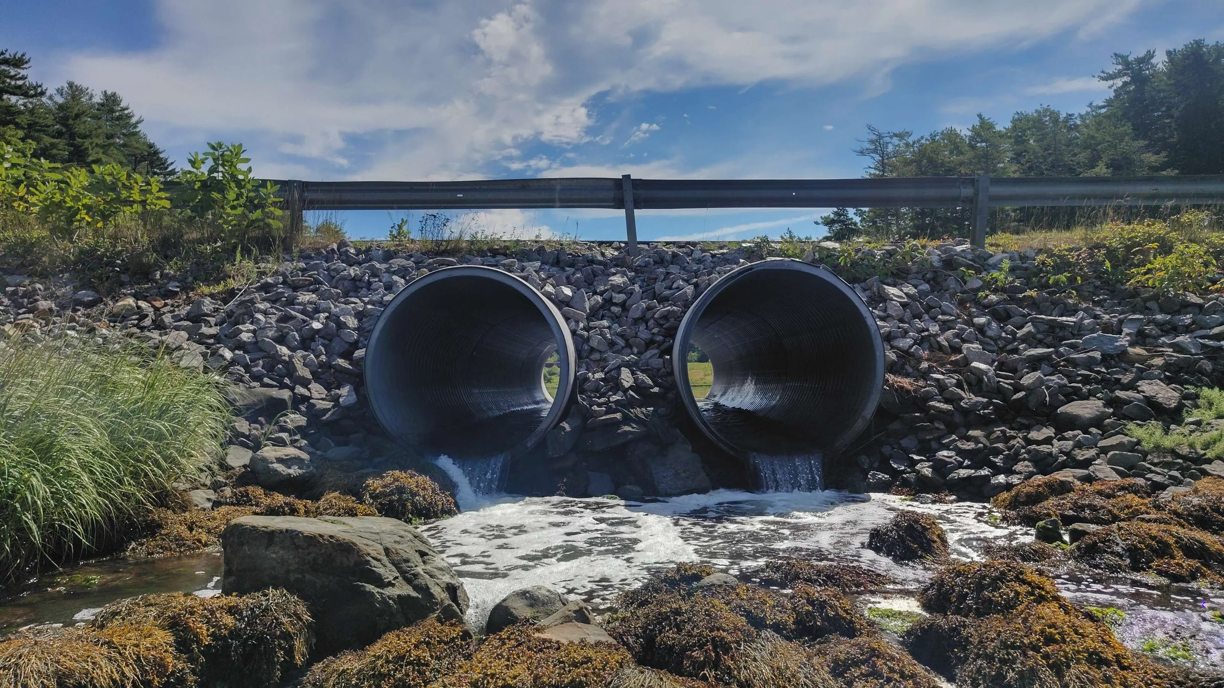
A tidal crossing on Berry’s Mill Road in West Bath
The Kennebec Estuary Land Trust (KELT) understands that by supporting the communities where we work with identifying the tidal crossings causing problems for habitat health and road access and installing well-sized replacement structures, we can ensure that the humans, flora, and fauna throughout our service area can continue to live safe and vibrant lives. This StoryMap will walk you through the work KELT has done to facilitate tidal crossing restoration throughout Midcoast Maine, including the methods, results, and driving motivations behind the work.